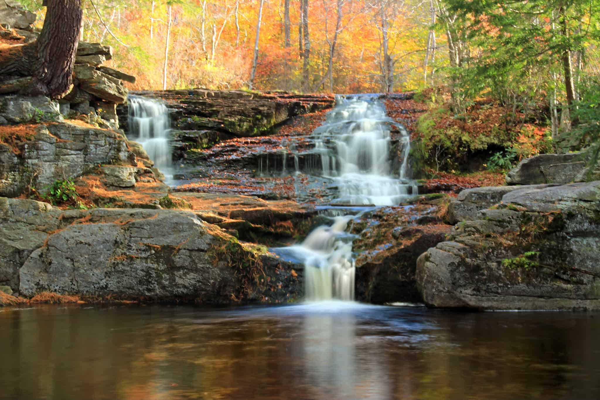
Explore Lackawanna County’s hiking trails, forests, waterfalls, rivers, and lakes.
Lackawanna County sits where the ridges and valleys of the Appalachian Mountains meet the higher, rolling terrain of the Appalachian Plateau. At the center of this region is the Lackawanna Valley, which runs through the county from the southwest to the northeast. The result is a rich landscape of upland forests, mountain ridges, streams, wetlands, and valleys—and the county is home to myriad trails, parks, and vistas where you can experience this scenery firsthand.
Read on to learn about the state parks, hiking trails, rivers, lakes, and waterfalls found throughout Lackawanna County, and how you can enjoy the natural world whether you’re in urban Scranton or a rural hamlet.
Lackawanna County’s state parks
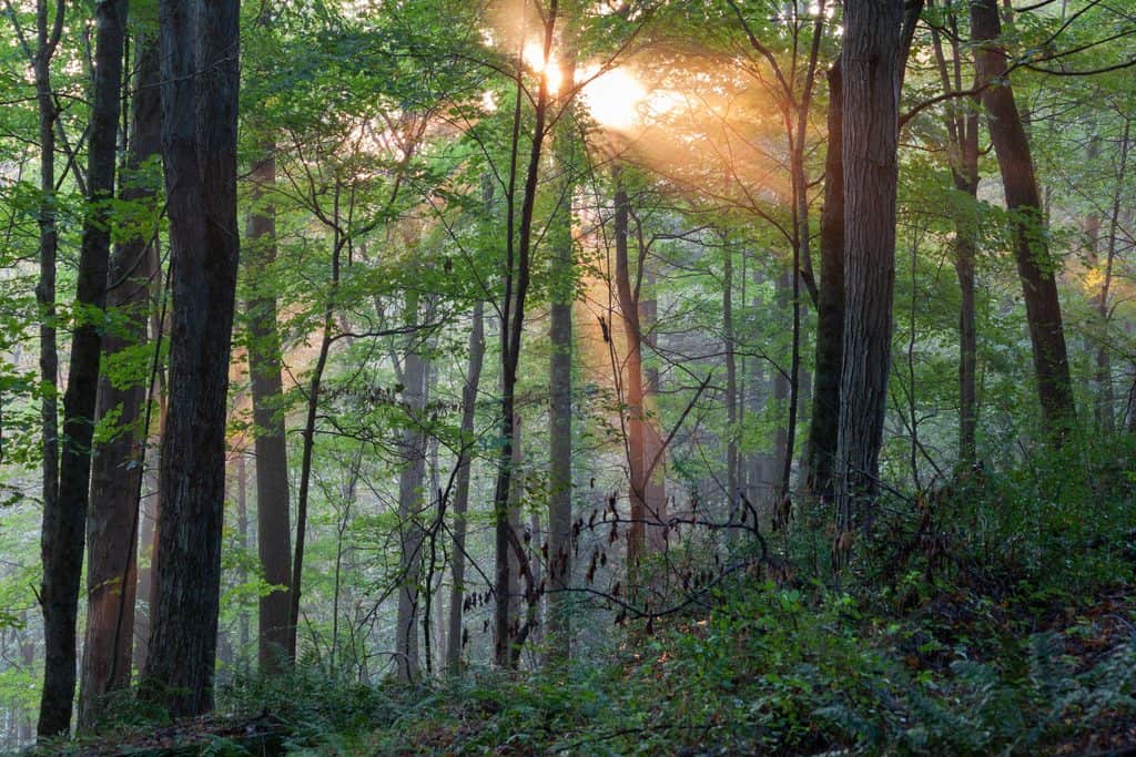
Pennsylvania state parks are inviting places that offer a multitude of benefits for nature seekers: Depending on the state park, you’re likely to find hiking trails, campgrounds, nature programs, and helpful staff knowledgeable about the area.
Lackawanna County is home to two state parks: Lackawanna State Park and the smaller Archbald Pothole State Park.
Lackawanna State Park (Benton Township and North Abington Township)
Lackawanna State Park, just 20 minutes north of Scranton, has many of the amenities one can usually expect at a Pennsylvania state park, allowing for hiking, camping, biking, and more. More than 18 miles of trails welcome hikers, cyclists, and horseback riders on designated multi-use trails.
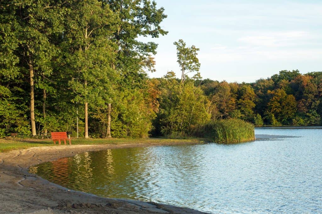
But the 1,445-acre park centers on the large Lackawanna Lake, which offers fishing, kayaking, and boating. The lake is surrounded by picnic areas and trails for those wanting to enjoy lakeside views. While swimming isn’t allowed in the lake, the state park does have a seasonal swimming pool as well as a splash park.
Archbald Pothole State Park (Archbald)
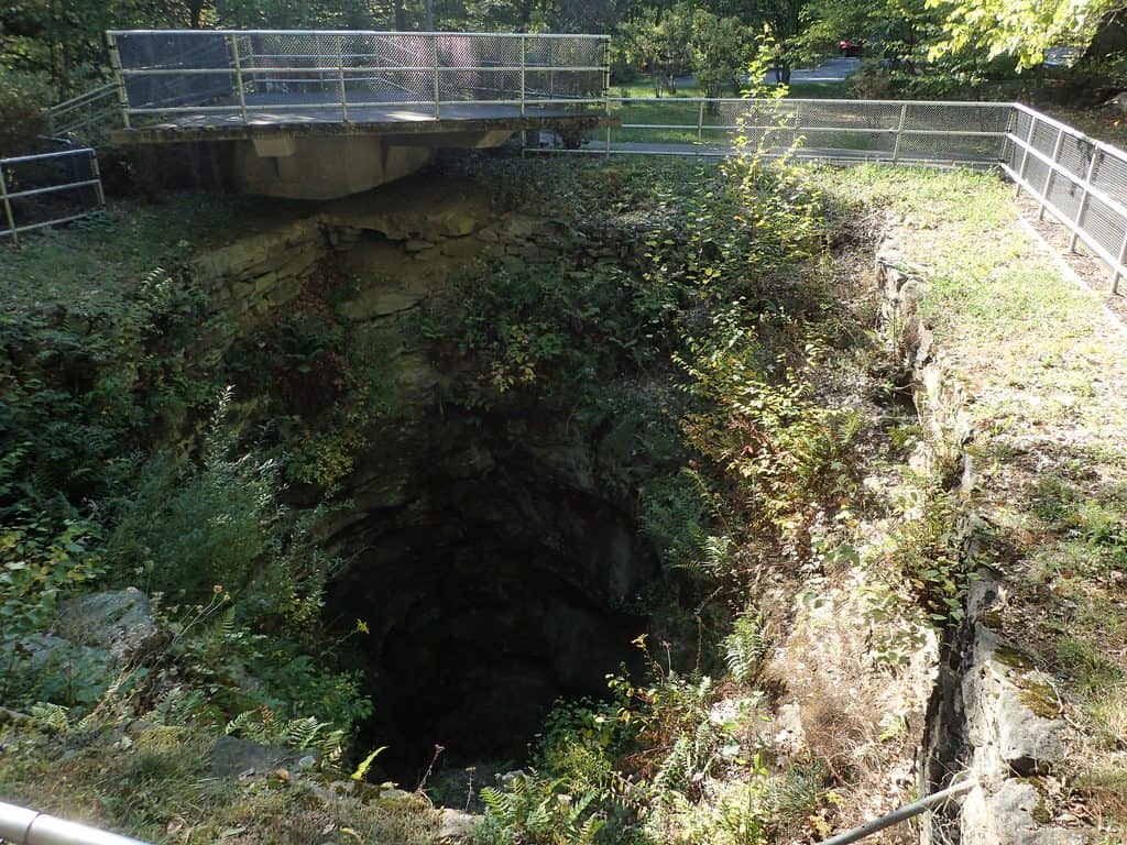
Making up just 150 acres, Archbald Pothole State Park is home to the Archbald Pothole, a massive, rocky pothole formed roughly 15,000 years ago by glacial activity. Plunging 38 feet deep and spanning up to 42 feet wide, it’s the largest pothole in the world.
The pothole, a tourist attraction since it was discovered in 1884, is the main focus of the park, but you can also find a short walking trail that follows an old coal mine tram road through the forest.
Pinchot State Forest
Pinchot State Forest is not a single contiguous forest but is made up of several separate tracts of public forest land scattered across Northeastern Pennsylvania. There are four tracts in Lackawanna County, the oldest and largest being the Thornhurst Tract.
Thornhurst Tract
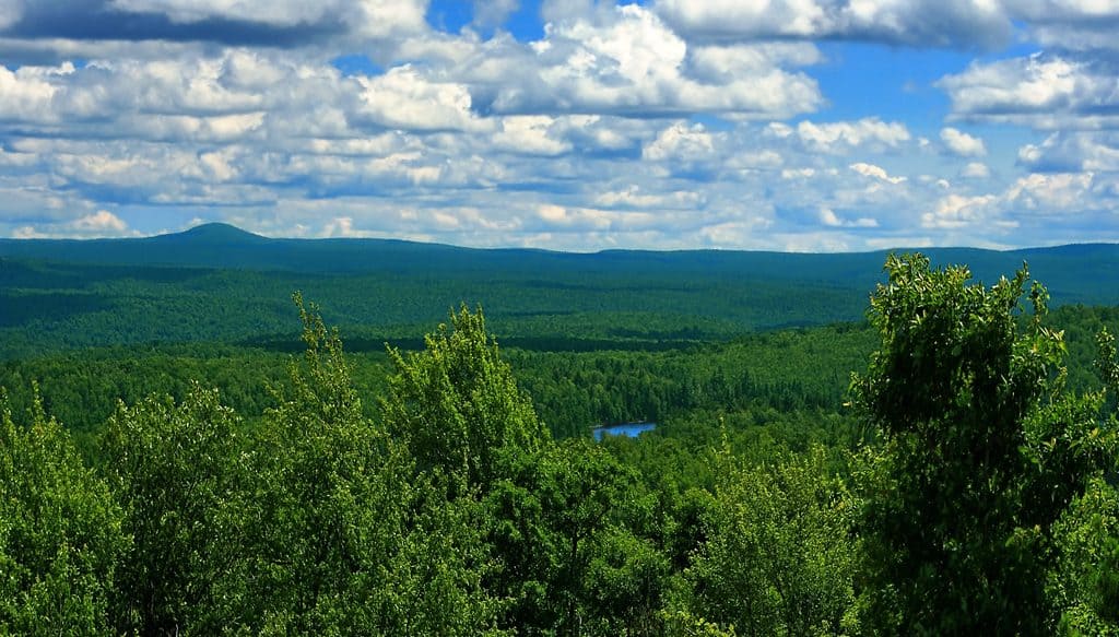
The state forest’s Thornhurst Tract is a densely forested area in southern Lackawanna County, home to a number of areas favored by outdoors enthusiasts. The 26-mile Pinchot Trail is the centerpiece of the tract and offers short, easy hikes or overnight backpacking opportunities through hemlock forests, meadows, bogs, and swamps. Hikers will also pass the 20-foot cascades of Choke Creek Falls as well as the glacial bog of the Spruce Swamp Natural Area.
Additionally, you can visit the Manny Gordon Recreation Area, which has a handful of reservable campsites, picnic areas, and access to the scenic overlook of Pine Hill Vista.
Elmhurst Tract
The Elmhurst Tract features the North Pocono Trail System, roughly seven miles of multi-use trails near the borough of Moscow. The trails take hikers and cyclists past wildflowers and scenic creeks.
Montage Tract
The Montage Tract is located just south of Scranton and surrounds Montage Mountain. Experienced hikers can take to the trails to reach Rattlesnake Falls and a scenic viewpoint of the surrounding wilderness.
Moosic Mountain Tracts
The state owns several separate tracts along Moosic Mountain, though unlike the recreation areas of the other state forest tracts, these areas are less developed for visitors. The state forest is publicly accessible and helps protect the mountain’s forests and unique heath barrens, but a casual visitor may instead choose to explore Moosic Mountain at more developed preserves, including the Dick and Nancy Eales Preserve.
Explore Moosic Mountain
Dick and Nancy Eales Preserve at Moosic Mountain (Jessup)
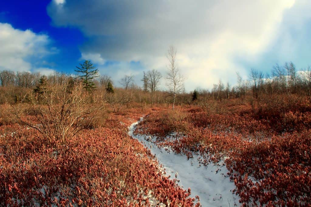
The Dick and Nancy Eales Preserve at Moosic Mountain allows visitors to explore the area’s distinctive ridge‑top heath barrens, rare ecosystems made up of carpets of low shrubs like huckleberry, blueberry, and rhododendron. The 2,250-acre preserve features miles of hiking trails and world-class mountain biking trails, with incredible views of the surrounding area. It’s also known for its excellent birding, particularly during spring and fall migration.
Panther Creek Nature Preserve (Simpson)
For a wilder experience on the slopes of Moosic Mountain, you can visit the Panther Creek Nature Preserve, a shaded stream valley with waterfalls and cascades. Panther Creek, however, doesn’t have marked trails, so visits are recommended for more experienced hikers comfortable with uneven terrain and creek crossings.
Lackawanna County Parks
There are four Lackawanna County Parks, where people can swim, hike, fish, play on playgrounds, and more:
- Merli-Sarnoski Park (Fell Township): This park covers a whopping 840 acres and features a stocked lake with seasonal swimming, picnic areas, and roughly 15 miles of hiking and biking trails that wind through the park’s dense, natural forest.
- McDade Park (Scranton and Taylor): McDade Park was one of the first parks in the country built on reclaimed mine land. Now, the 200-acre park is home to a large inclusive playground, about two miles of hiking trails, a children’s fishing pond, as well as the Lackawanna Coal Mine Tour and the Pennsylvania Anthracite Heritage Museum.
- Aylesworth Park (Jermyn): This 252-acre park is anchored by a 4-acre lake open to swimming and fishing. It also has picnic facilities and a lakeside hiking trail.
- Covington Park (Covington Township): This 400-acre park features the 9-acre DeSandis Pond, open to fishing, swimming, and kayaking. The park also has miles of hiking trails, including a lakeside trail, picnic facilities, and an inclusive playground.
Experience the Lackawanna River
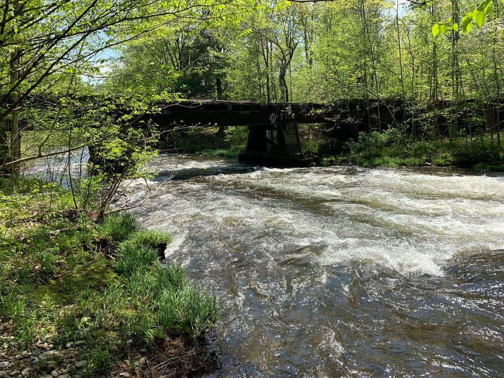
The 42-mile-long river that shares its name with the county is a popular destination for kayaking, canoeing, fishing, and riverside hikes and bike rides. The river flows through many communities, including Scranton, and has undergone decades of restoration following heavy pollution from coal mining and industry.
Running along much of the river, the Lackawanna River Heritage Trail is a gateway to river recreation, scenic riverside views, and historic landmarks. The trail connects communities throughout the Lackawanna Valley before joining the D&H Rail-Trail to form a roughly 70-mile trail system.
Connect with nature in and around Scranton
Even though Scranton is the urban seat of Lackawanna County, you can still explore the great outdoors within and just outside of the city.
Nay Aug Park (Scranton)
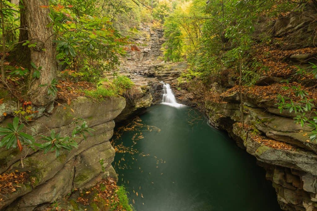
Nay Aug Park is the largest public park in Scranton, and it fits a great deal into its 73 acres. The stunning Nay Aug Gorge is a National Natural Landmark, with the David Wenzel Tree House rising above the gorge and offering panoramic views. The two-mile Davis Trail takes hikers along the rim of the gorge to scenic overlooks like the tree house, as well as to the waterfall Nay Aug Falls.
Lake Scranton (Scranton)
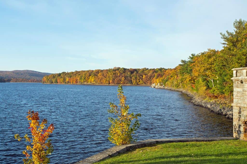
Just minutes from downtown Scranton, Lake Scranton is home to a 3.5-mile lakeside loop trail with scenic views of the water. The trail is fully paved, making it accessible to strollers and wheelchairs.
Top of the World (Dunmore)
Top of the World is a moderately challenging 4.2-mile loop trail in the Dunmore Pine Barrens, featuring one of the best scenic views in the county. The trailhead is less than 10 minutes from downtown Scranton.