Shape Durham’s future! Join March open houses or go online to voice your opinion on new bike lane designs. Your city, your streets, your say.
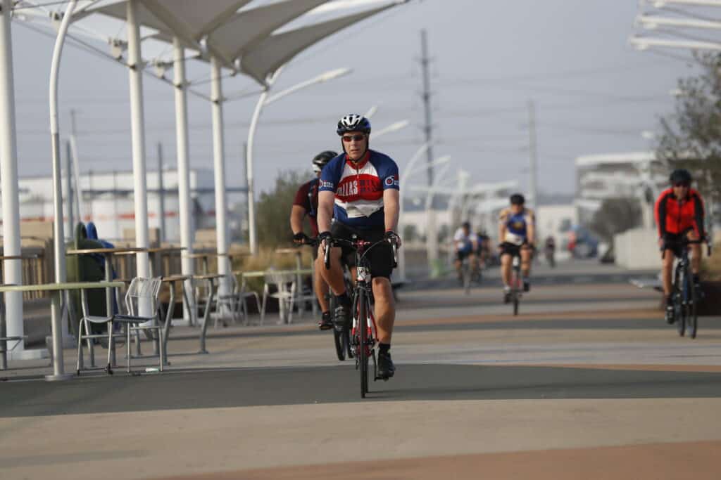
Durham is taking significant steps to enhance its cycling infrastructure and traffic management with a new initiative targeting three key corridors connecting downtown to surrounding neighborhoods. The project, slated for completion in 2026, aims to create safer and more accessible bike lanes while implementing traffic calming measures throughout the city center.
Downtown Durham bike lanes project seeks community input
The City of Durham has announced a series of public engagement opportunities in March where residents can review and provide feedback on proposed bike lane designs and traffic calming measures. The project focuses on three strategic corridors:
- Foster Street/Corcoran Street/Blackwell Street corridor from Trinity Avenue to the American Tobacco Trail
- Chapel Hill Street connecting Pettigrew Street to Swift Avenue
- Club Boulevard spanning from Broad Street to Washington Street
Public engagement sessions scheduled
Three open house sessions have been scheduled to facilitate community input:
- March 20: Durham Armory (212 Foster St.) from 5-7 p.m.
- March 27: E.K. Powe Elementary (913 Ninth St.) from 5-7 p.m.
- March 28: Pop-up event at Durham Co-op Market (1111 W. Chapel Hill St.) from 5-7 p.m.
If you’re not able to attend, don’t worry! The city will launch an interactive map on the project webpage starting March 10. Online feedback will be accepted through April 18, providing an additional avenue for community participation.
Project timeline and implementation
The initiative, which originated from the 2017 Bike+Walk Implementation Plan, is expected to complete its design phase by fall 2025, with construction beginning in summer 2026. The plan specifically identified these corridors as priorities for improving connectivity to downtown Durham, popular greenways, and surrounding neighborhoods.
Residents and businesses with questions about the project’s timeline, design, or costs can contact the project team directly. The Transportation Department, which oversees this initiative, manages various transportation services, including traffic signage, planning, parking operations, and bicycle and pedestrian infrastructure. Updates about the project can be followed on X, Facebook, or LinkedIn.
This article may have been created with the assistance of AI.