
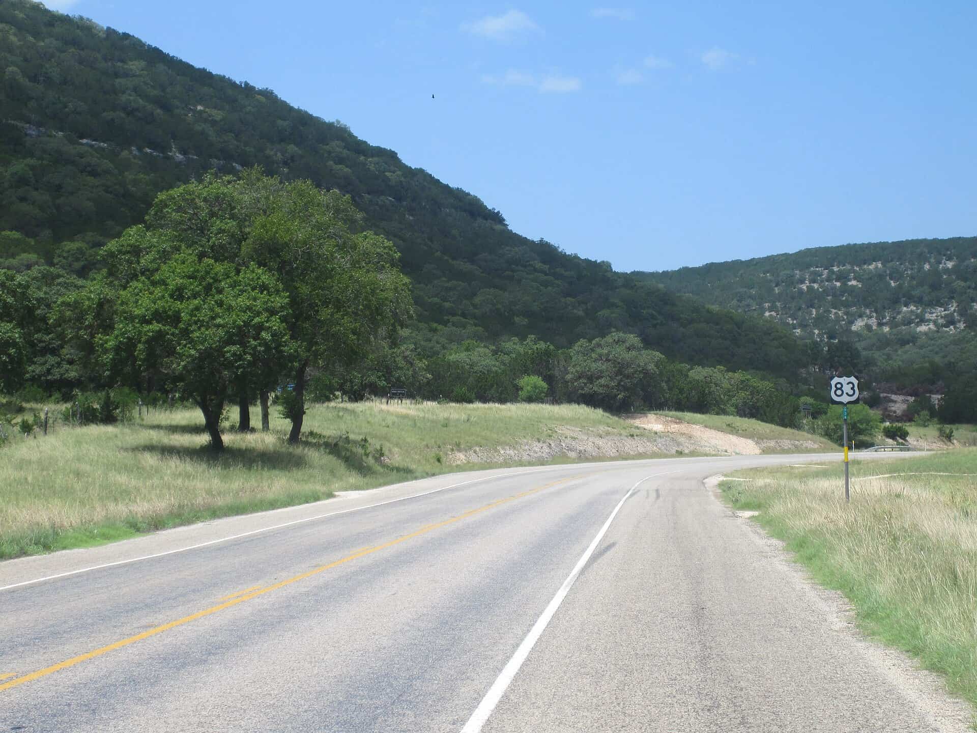
The Texas Department of Transportation is gathering community feedback until Dec. 19 for improvement suggestions to the US 83 corridor.
US 83 stretches over 600 miles, encompassing 23 cities and 22 counties between the border of Texas and Oklahoma and Carrizo Springs. It’s traversed by families going on vacation, people going back and forth to work, and truckers hauling goods. Numerous businesses have set up shop along its mileage, and now, the Texas Department of Transportation (TxDOT) wants to hear from all of those folks to determine what needs to be improved along the route.
Over the next several weeks, TxDOT is conducting a study to “establish a long-range implementation plan to guide improvements along the corridor” that “plays a vital role in connecting rural communities, regional hubs, and metropolitan areas.” Residents can submit comments regarding several key issues (more on that below), after which their responses will be gathered and reviewed to lay out a prospective course of action.
Jason Britsch works in the Amarillo District for TxDOT, and he told KFDA, “There’s a lot of farms, a lot of ranches. And so there’s a lot of truck traffic that’s going through there. And so we want to hear from them.” The department’s goal is to improve road conditions for both heavy trucks and passenger vehicles alike, though officials understand there won’t be one-size-fits-all solutions that work for everyone.
Once the deadline for submissions has closed, staff members from TxDOT will use the comments to help create an initial implementation plan. It’s unclear as of writing what the next steps will be after that takes place or if additional community feedback will be requested once this study has concluded.
TxDOT will collect submissions through Dec. 19
Submissions for US 83 corridor improvements are currently open and will remain so until December 19. If you would like to complete the Texas Department of Transportation’s questionnaire between now and then, please click here.
The survey includes 13 questions, many of which have a checklist for residents to choose any number of answers they feel apply to that given prompt. A handful of questions require more in-depth answers given in the form of opinion boxes, and another section asks for folks to order their improvement priorities from one through four in order of importance.
At the bottom of the page is an interactive map where respondents can flag specific areas that are cause for concern or where they experience the most problems. Categories for the map marker are broken down by things like traffic concerns, connectivity issues, safety concerns, road issues, and points of interest, to name a select few.
TxDOT hopes to examine traffic operations and safety from a more direct standpoint by learning from the people who travel the corridor the most. Improving the existing roadway and potentially making expansions are all possibilities once the comments have been collected and reviewed.
The three specific segments composing the survey pertain to specific areas along its route: The northern section along the Texas-Oklahoma border, the southern section running between the Kerr/Kimble County line and Carrizo Springs, and the central section running near the Stonewall/King County line. Responders can indicate in their comments and on the interactive map which of these sections they frequent.
For questions or assistance when filling out the survey, please contact Arqa Mast, who is the TxDOT Project Manager assigned to the study. Mast can be contacted directly at: arqa.mast@txdot.gov.


