
Take a look back at “Huron Hurricane,” one of the most memorable moments in Michigan meteorological history.
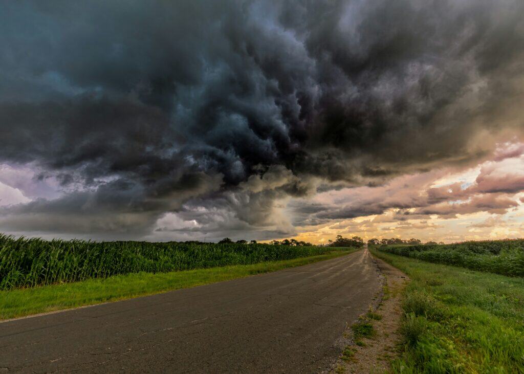
We Michiganders are no strangers to extreme weather.
After all, most of us have lived through our fair share of Michigan blizzards or summer rainstorms. But did you know that a hurricane blew through the Great Lakes State back in the 1990s? Well, not exactly—but there was a storm system so intense that many have half-jokingly referred to it as a hurricane in the three decades since. With its torrential rains and widespread impact, the Lake Huron cyclone of 1996 remains one of the most notable weather events in Michigan history.
Favorable conditions over the Great Lakes
In the fall of 1996—early September, to be more precise—Michiganders were welcoming the autumn season. Children had returned to school, the cozy charm of festive fall fun was on the horizon, and folks had said their goodbyes to another Great Lakes summer. Everything seemed quite ordinary… until it didn’t.
The first whispers of a cyclone emerged on the 11th, when a low-pressure area grew over Lake Superior. Meteorologists noted conditions favorable for rapid intensification and rotation, which meant that the storm had the potential to gain traction and power in a relatively short period of time.
The storm lived up to its potential.
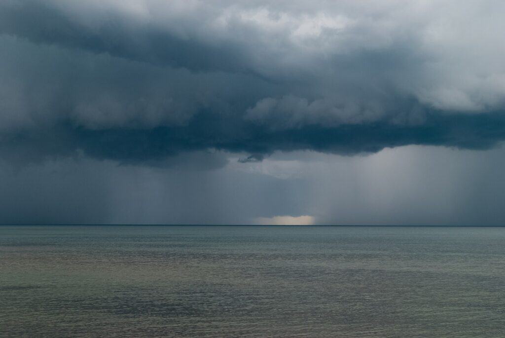
By the next day, wind gusts had surpassed 70 miles per hour, and the weather system hovered over Lake Huron, where warm (by Great Lakes standards) water created the perfect environment for a tropical storm-esque event.
As the days passed, heavy rains and winds continued. By September 13 and 14, the developing cyclone moved again. This time, it was pushed eastward by another incoming northern storm—and this meeting of two weather systems only added to the initial system’s intensity.
Powerful rainstorms were recorded along a 155-mile stretch under the storm, with extreme weather causing disruptions over Lake Huron and all the way into Pennsylvania.
A tropical storm without the tropics
At its peak, the so-called “Huron Hurricane” matched a true tropical storm in intensity, even delivering wind gusts of up to 73 miles per hour. For context, the bottom wind threshold for a Category 1 hurricane is 74 miles per hour.
Satellite images from the several-day downpour intrigued weather experts and everyday folks alike. From above, the weather system bore a striking resemblance to a hurricane, hence its nickname. There was even an “eye” to the storm, which extended for miles between thick swaths of cloud cover.
While its impact was, thankfully, far less devastating than a true hurricane might have been, the storm delivered heavy rains and powerful wind gusts to communities across Michigan. We can only imagine the flooded basements that caused frustration during those several days in September (because we’ve all been there).
Michigan’s weather is volatile, to say the least. While there’s something undoubtedly interesting about tracking unique meteorological conditions throughout the region, we’re hoping to avoid any destructive cyclones—or near-hurricanes, for that matter—for the foreseeable future.
But for amateur meteorologists and professional weather-watchers alike, this unusual 1996 storm remains an unforgettable moment in Great Lakes history.