Now stretching 565 miles, the PA Turnpike transformed Pennsylvania and set the standard for highways nationwide.
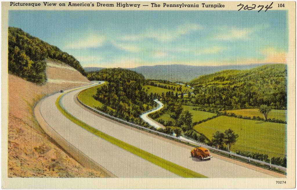
When the Pennsylvania Turnpike first welcomed drivers in 1940, it wasn’t just another highway, but a completely new way to travel. As the first limited-access highway in the country, the long-distance road cut through rugged mountain passes and winding valleys without any stoplights or town intersections, making journeys both faster and safer. The smooth roads on the “dream highway,” as it was often called, were a far cry from the bumpy roads motorists usually traveled.
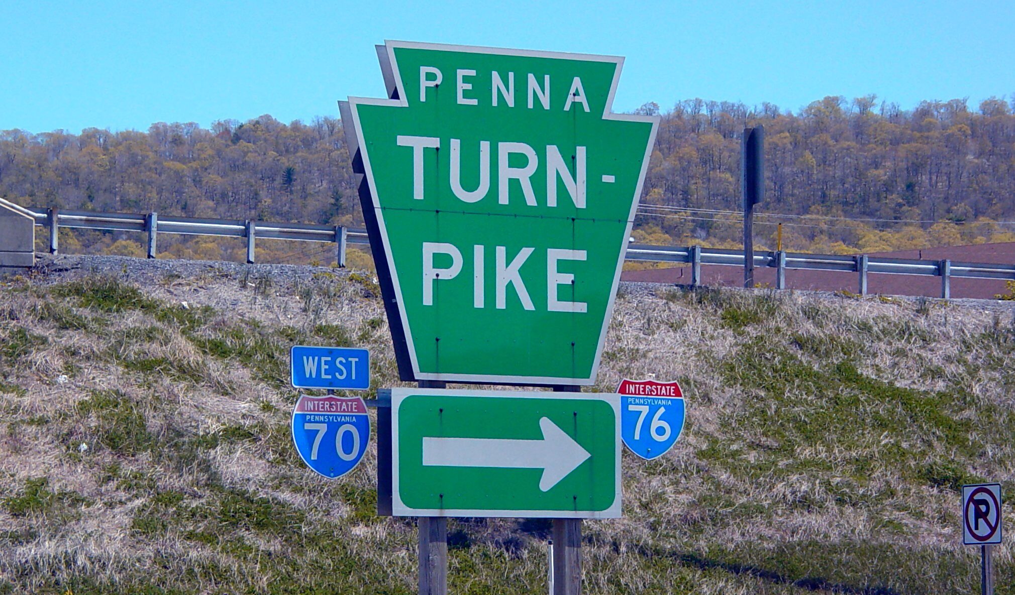
Known simply as the PA Turnpike, the road became a model for new highways across the country and laid the foundation for what would eventually become the Interstate Highway System. Today, some Pennsylvanians may decry the highway’s financial issues and frequent toll increases, even driving hilly, scenic backroads to avoid the turnpike altogether. But it’s hard to escape the influence of the Pennsylvania Turnpike—and harder still to avoid its iconic keystone logo.
Read on to learn what made the turnpike so groundbreaking 85 years ago, and how it still shapes Pennsylvania today.
Drivers lined up for hours to be the first to drive the Pennsylvania Turnpike when it opened at midnight on October 1, 1940.
With tunnels as engineering marvels allowing motorists to travel through mountains and four lanes stretched across a concrete ribbon of highway, the PA Turnpike promised a vision of the future when it first opened in 1940.
At the time, there was no posted speed limit, and the toll was one cent per mile. A trip along the turnpike’s original section, which stretched 160 miles from Irwin to Carlisle, would have cost you $1.60—about $37 in today’s dollars.
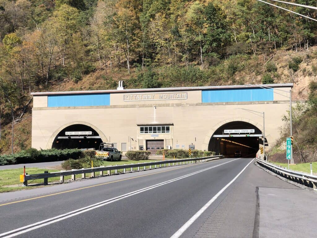
The turnpike initially opened with seven tunnels.
The more than $61 million turnpike project—roughly $1.4 billion today—relied on six abandoned tunnels from the never-finished South Pennsylvania Railroad, begun in the 1880s, plus one new tunnel through Allegheny Mountain. Of these seven tunnels, three would eventually be bypassed because of traffic problems. Two of these tunnels can still be explored along an eerie stretch of abandoned highway.
There are 13 miles of abandoned PA Turnpike, now a hiking and biking trail, in Bedford and Fulton Counties.
Because of growing traffic bottlenecks in single-lane tunnels along the turnpike, the PA Turnpike Commission decided to bypass Rays Hill and Sideling Hill Tunnels in 1968. The result was 13 miles of abandoned roadway. (A third abandoned tunnel, Laurel Hill, was bypassed in 1964 and is located farther west.)
The abandoned 13-mile section of the turnpike is accessible to the public and often used for hiking and biking. But it has such a creepy quality that it was used in the 2009 film “The Road,” based on the post-apocalyptic Cormac McCarthy novel (see part of the abandoned turnpike and the Rays Hill Tunnel in the movie’s trailer at 0:11).
The trail along the abandoned section, the Old PA Pike Trail, is currently being enhanced and revitalized. In fact, a new trailhead that connects to the Old PA Pike Trail just opened at the turnpike’s Sideling Hill Service Plaza in Waterfall on September 20.
The turnpike’s influence reshaped the state map, building up some towns and devastating others.
Like the Interstate Highway System the PA Turnpike inspired, America’s first “superhighway” carried visitors to new towns and bypassed others completely, meaning some communities grew while others faded away.
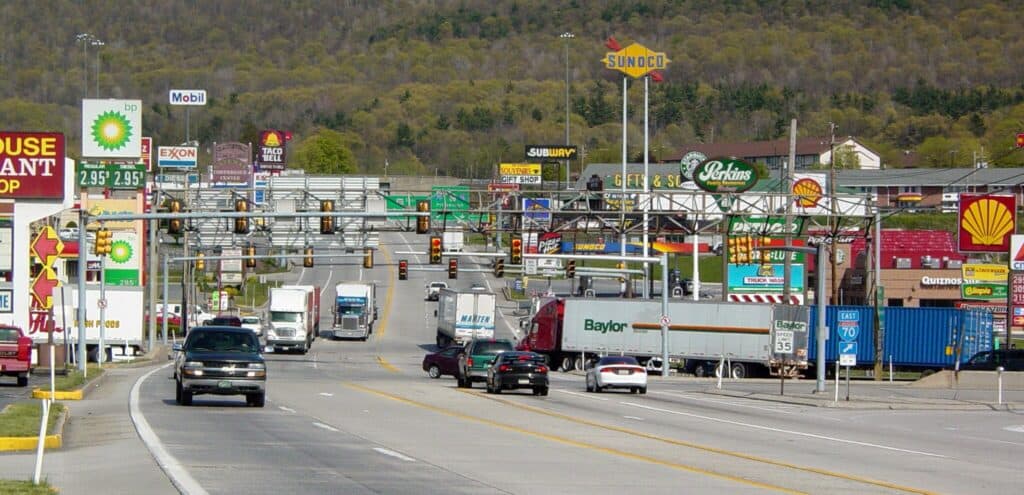
Think of Breezewood, one of the original PA Turnpike exits that now serves as the junction of the Turnpike, I-70, and Route 30. The image of Breezewood’s fast food restaurants and gas stations has become a meme illustrating placeless America, which isn’t entirely fair—Breezewood exists as a unique gap in the Interstate Highway System, where drivers are funneled through the town rather than a traditional freeway interchange.
Other towns, like those along once-popular state highways like Route 30 (the Lincoln Highway), saw significant declines in visitors. Olga Herbert, executive director of the Lincoln Highway Heritage Corridor, told Philadelphia’s WHYY in 2015 that the Lincoln Highway town of McConnellsburg in Fulton County was once home to four hotels and more than two dozen businesses—that is, before the turnpike was built. Today, the mountain town counts only a few businesses and no hotels.
The turnpike kept expanding as other states adopted the model, and it soon became the blueprint for the Interstate Highway System.
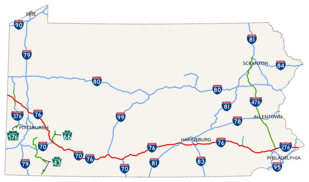
The original 160 miles were just the beginning. By 1956, the turnpike stretched 360 miles from the Pittsburgh area to the Delaware River, and in 1957, the Northeast Extension was completed, linking the Delaware Valley with the Lehigh Valley and Pocono Mountains.
Other states quickly borrowed Pennsylvania’s model for both engineering and financing, issuing toll-backed bonds to fund construction. By early 1955, 1,239 miles of turnpike were in operation nationwide, and more than 4,500 miles were planned or under construction.
Then, in 1956, President Dwight D. Eisenhower signed the National Interstate and Defense Highways Act, launching a vast network of superhighways. Many existing turnpikes, including Pennsylvania’s, were folded into the Interstate Highway System, and innovations from the PA Turnpike—from limited-access lanes to service plazas—became the template for the ambitious, nationwide infrastructure project.
Today, the PA Turnpike is one of the most expensive toll roads in the world.
A quick jaunt on the turnpike might run you just a few dollars, but traveling the 360 miles across the entire state from the Ohio border to the Delaware River Bridge would run you $120.74 if you pay by plate, or a discounted $60.27 with E-ZPass, according to the turnpike’s toll calculator. That makes it among the priciest end-to-end toll roads anywhere.
However, other toll roads are much more expensive per mile, like the I-66 Express Lanes in Virginia that can cost more than $40 to drive 20 miles or the Øresund Bridge between Denmark and Sweden that costs about $72 to drive a little less than 5 miles.
Amid toll hikes and seemingly endless construction, the PA Turnpike continues to evolve.
In recent years, the turnpike’s cash toll booths have been abandoned, replaced by all-electronic tolling, with plans for turnpike-wide open road tolling. Service plazas, now featuring familiar chains, have added electric vehicle charging stations. Extensions and improvements have lengthened the turnpike from its original 160 miles to 565 miles.
Pennsylvanians still criticize rising tolls, construction delays, and financial mismanagement related to the roadway. Yet the turnpike remains the fastest and most direct way to cross the state—just as it was intended to be in 1940.