Lace up your hiking boots and get ready to explore the best fall hiking trails in Wisconsin with colorful foliage and breathtaking views.
Over the river and through the woods to find the best hiking trails, we go! Wisconsin has an abundance of hiking trails open to the public, including 44 official state trails. There’s no time like fall (the blissfully short period right before the snow sets in) to get out and about.
While Wisconsin is known for the Ice Age National Scenic Trail, a nearly 1,200-mile trail that runs through the state, we have so many more (just as wondrous, but a tad bit shorter) hiking trails to check out.
For each trail on this list, we considered visitor reviews, third-party ratings, and trail descriptions to determine the difficulty level. While some of these trails are free to visit, we marked those that require purchasing a state park sticker for your car to help you plan the perfect outing.
1. Lion’s Den Gorge
Where: 511 High Bluff Drive, Grafton
Length: Estimated 2 – 3 miles (combined)
Difficulty: Easy
At the Lion’s Den Gorge in Grafton, you can choose from several different hiking trails that visitors describe as easy, outstanding, and incredibly peaceful. You can see awe-inspiring, nearly 100-foot bluffs overlooking Lake Michigan.
2. Bender Park (Forked Aster Trails)
Where: 4503 E. Ryan Road, Oak Creek
Length: 3.5 miles (total loop perimeter)
Difficulty: Easy
Bender Park in Oak Creek is home to the Forked Aster Hiking Trail System. Enjoy incredible views of changing foliage, and fall in love with the sights of Lake Michigan. You can hike the entire trail perimeter or hike the North Loop (2 miles) or the Northeast Loop (1.6 miles). Make it an entire nature day by birdwatching—visitors have said it is a great spot for that, too.
3. Petrifying Springs Park Trail
Where: 5555 7th Street, Kenosha
Length: 5.54 miles
Difficulty: Easy to Moderate
The hiking portion of Petrifying Springs Park Trail is 5.54 miles, but you can take plenty of paths where autumnal colors fall all around you. The park, known by locals as Pets, has a paved 2.8-mile route that you can walk, bike, or run. There are two additional trails running 3.2 and 2.2 miles each. Check out this Pets Park Map to plan your next hike.
4. Stephens Falls and Lost Canyon
Where: 4175 WI-HYW 23, Dodgeville (Governor Dodge State Park)
Length: 0.5 mile (Stephens Falls) and a 3-mile loop (Lost Canyon)
Difficulty: Easy to Moderate
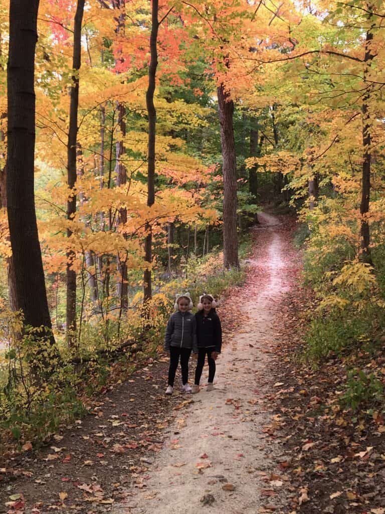
Governor Dodge State Park contains nearly 40 miles of trails with several options for hikers to choose from. However, some folks agree that two can’t-miss trails are Stephens Falls and Lost Canyon. The first, a shorter jaunt, is a paved trail that overlooks a scenic waterfall. Once you’re in the Stephens Falls area, you can easily connect to the Lost Canyon Trail. This 3-mile loop runs through a densely wooded area and has steeper steps.
This trail requires a Wisconsin State Park System vehicle admission pass, available online or at park entrances.
5. Eagle Trail
Where: 9462 Shore Road, Fish Creek (Peninsula State Park)
Length: 2 miles
Difficulty: Moderate
Peninsula State Park has nine trails throughout the area, with Eagle Trail being a fan favorite. This trail is more challenging because of its uneven, rocky terrain.
Fun fact: Visitors to the State Park who need more assistance can borrow an outdoor track wheelchair. Visit Friends of Peninsula before you go to see if it’s available.
This trail requires a Wisconsin State Park System vehicle admission pass, available online or at park entrances.
6. East Bluff on the Ice Age Trail
Where: S5975 Park Road, Baraboo (Ice Age National Scenic Trail)
Length: 1.7 miles
Difficulty: Moderate to Difficult
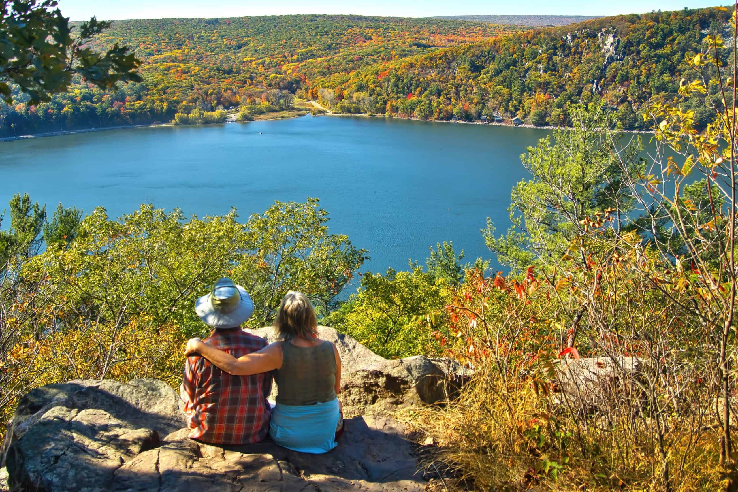
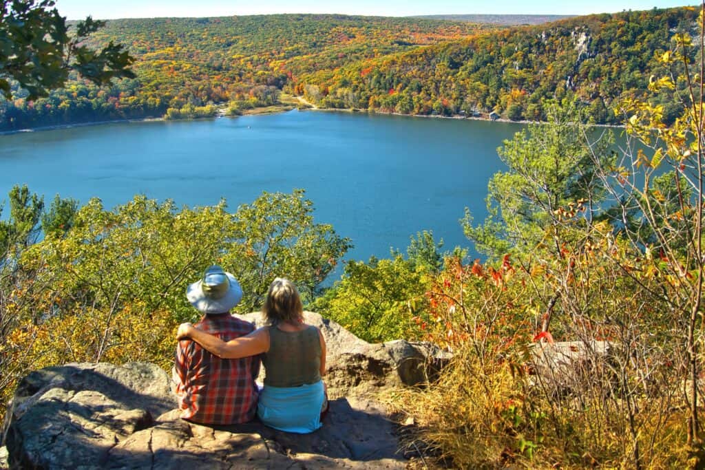
You might have to play rock, tree, or scissors (honing in on the nature theme) to see which of the two bluffs, West or East, you’ll visit when hiking through Devil’s Lake State Park on the Ice Age Trail. The park has more than a dozen additional trails, ranging from easy to difficult. This section of the trail has asphalt and stone steps—be careful and watch your step. As a bonus, the trail also connects to the short (and difficult) but gorgeous Devil’s Doorway Loop.
This trail requires a Wisconsin State Park System vehicle admission pass, available online or at park entrances.
7. Willow Falls Trail
Where: 1034 Co Hwy A, Hudson (Willow River State Park)
Length: 1.4 miles (Gray Trail, 0.4 miles and Blue Trail, 1.0 miles)
Difficulty: Moderate
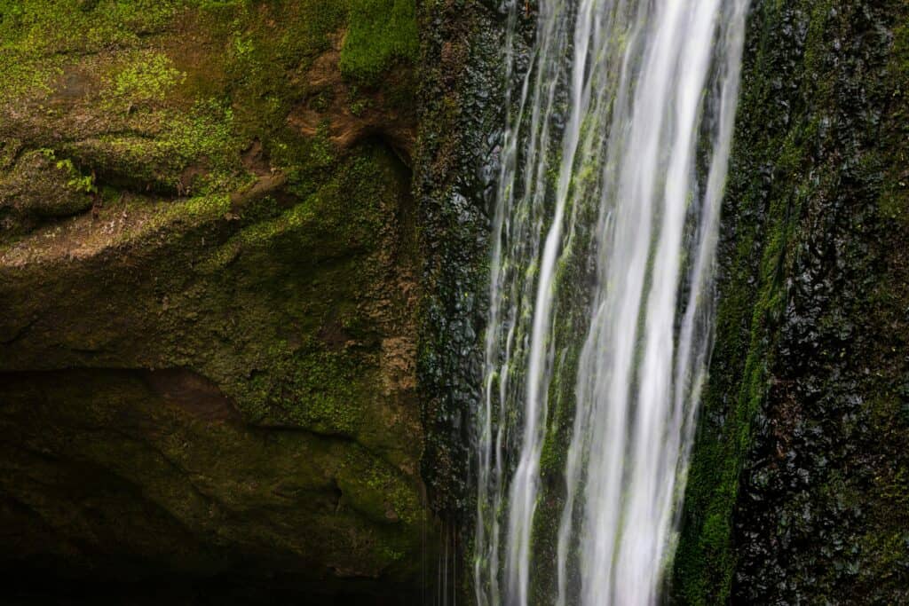
Willow River State Park has about 13 total miles of hiking trails. Visitors who hike the Willow Falls Trails (gray and blue) marvel at stunning sights, but they caution about slippery spots, especially after it rains. The trails are considered moderate because of steep sections.
This trail requires a Wisconsin State Park System vehicle admission pass, available online or at park entrances.
8. Red Granite Falls Trail
Where: 36764 Copper Falls Road, Mellen (Copper Falls State Park); trailhead near the Loon Lake parking lot
Length: 2.5 miles
Difficulty: Easy
About a mile into the Red Granite Falls Trail, you’ll find its namesake cascading rapids, framed by gorgeous red granite. The wide trails make this a fairly easy hike for most visitors. Hikers often note how well-maintained the trail is and how stunning the falls are.
This trail requires a Wisconsin State Park System vehicle admission pass, available online or at park entrances.
9. Scuppernong Springs Nature Trails
Where: S59W36630 County Road ZZ, Dousman (Kettle Moraine State Forest)
Length: 1.5 miles
Difficulty: Easy to Moderate
As part of the Kettle Moraine State Forest Southern Unit, Scuppernong Springs Nature Trail is a great place to get some steps in, and it’s an area rich in Wisconsin history. Did you know a cranberry bog used to be part of the area around the trail?
This trail requires a Wisconsin State Park System vehicle admission pass, available online or at park entrances.
10. River Bend Nature Center Trail
Where: 3600 North Greenbay Road, Racine
Length: 1.5 miles
Difficulty: Easy
If you’re wondering what’s around the river bend, look no further than River Bend Nature Center. The nature preserve spans 78 acres of wooded area with trails and other environmental educational activities. Part of the preserve even runs along Racine’s Root River. Take a look at this River Bend Trail Map and choose a trail to explore.